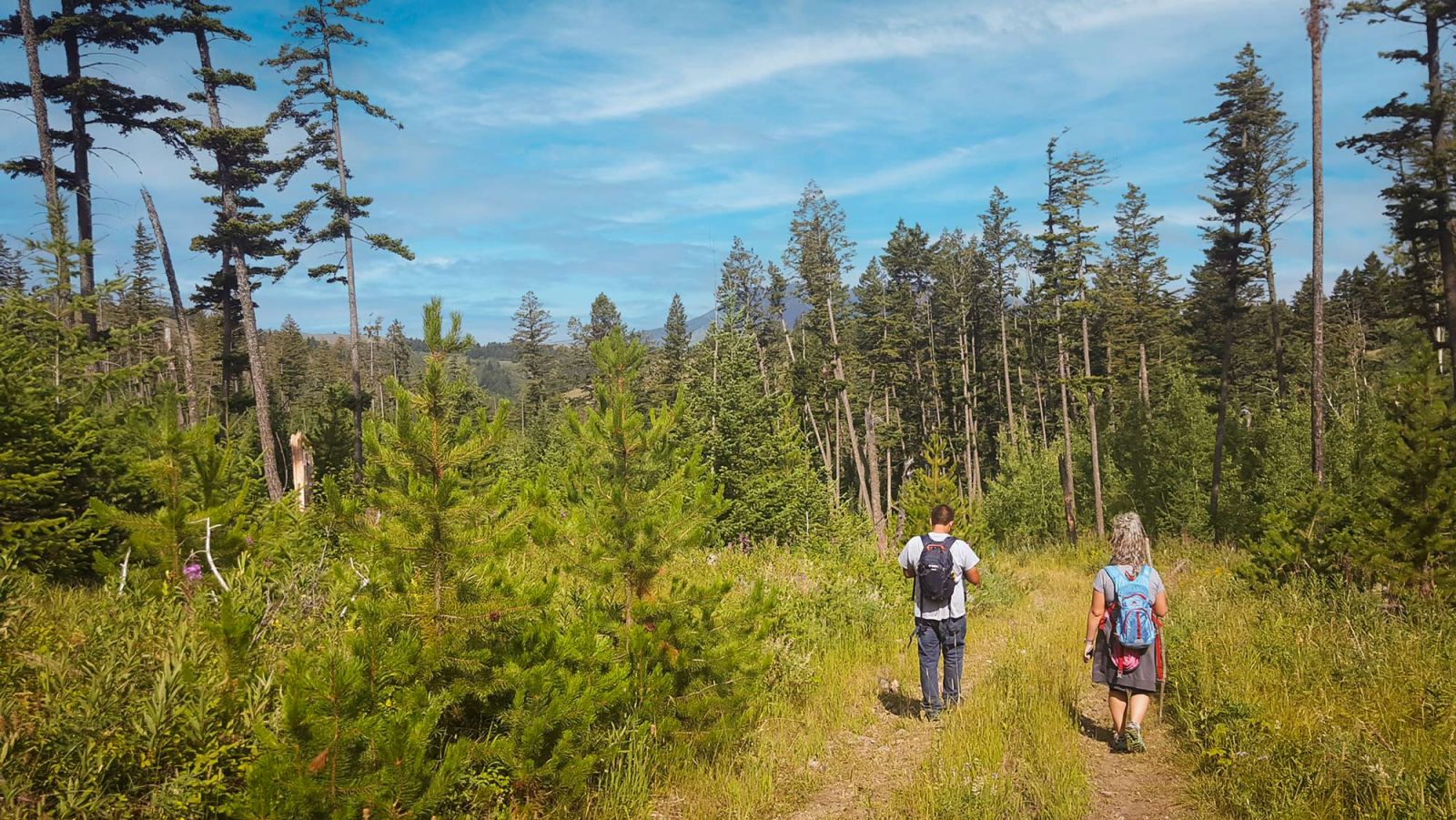
Hiking in Beaver Creek Park
Welcome to Havre’s hiking haven! Beaver Creek Park offer diverse trails for hikers of all skill levels, with scenery that showcases the rugged beauty of Montana. From gentle paths through wildflower meadows to challenging climbs with panoramic views, the trails here are perfect for both leisurely walkers and seasoned adventurers. Whether you're looking to spot local wildlife, enjoy a peaceful picnic, or tackle a more strenuous route, the Bear Paw Mountains promise an unforgettable hiking experience.
Bear Paw Nature Trail
Min Elevation: 3957 / Max Elevation: 4281
Finding the Trailhead:
Drive 19.8 miles south of Havre on Highway MT234. (Coming from Rocky Boy, drive .7 miles south after the Taylor Road/MT-234 intersection.) A sign on the right side of the highway will direct you to Alkali Springs Road. Turn here and drive .55 miles until you see a mowed parking area and kiosk on the left.
Following the Trail:
From the trailhead on Alkali Springs Road, take the road downhill for 500 feet. Look for a metal trail sign on the left and follow the mowed path through a low-lying area and up onto the meadow above, then to an old two-track road. This road winds down into a “bowl”— follow it straight into the trees (do not veer left into Lions Campground). A sign by the trees marks the start of the formal trail (the “old fort road”). This trail continues for just under a mile before it crosses Broughs Coulee Road. Cross the road, pass by the public bathroom, and continue along the trail for another mile, until the trail ends at the Rocky Boy Reservation boundary.
Features:
The northern 1/3 of the trail crosses a large, open hay meadow. The southern 2/3 of the trail skirts along the western contour of Beaver Creek Canyon, high above the creek bed and along frequent aspen groves and berry bushes (ripe raspberries and juneberries mid to late July). The view is beautiful year-round but especially in June, July, September, and October. This is also a great snowshoeing route.
Alternate Route:
For a shorter hike, and a trail entrance that’s a bit easier to find, just hike the southern 2/3 of the Bear Paw Nature Trail starting at Lions Campground (3.8 miles out & back). Drive 21.2 miles south of Havre on MT-234. (Coming from Rocky Boy, drive 2.1 miles south of Taylor Road/MT-234). When you reach the sign for Lions Campground on the right, drive into the campground area and over the bridge. Park and walk up the road as it climbs uphill to the west. Turn left at the sign by the trees and follow the trail.
Amenities:
Bathrooms at Lions Campground and at Broughs Coulee Road. Benches at key lookout points. Historical and wildlife interpretive signs.
Mount Otis Trail
Min Elevation: 4065 / Max Elevation: 4800
Finding the Trailhead:
Drive 19.9 miles south of Havre on Highway MT234. (Coming from Rocky Boy, drive .8 miles south after the Taylor Road/MT-234 intersection.) A sign on the left side of the highway will direct you to Mooney Coulee Road. Turn here and drive .8 miles until you see the trailhead on the left.
Following the Trail:
This trail is straightforward: take the trail as it veers right from the parking area and switchbacks up the mountain.
Amenities:
Bathroom near the trailhead. Bench at the top of the mountain.
Rotary Canyon Loop Trail
Rotary Canyon Lower Loop Trail Distance: 1.08 mi. Min Elevation: 3550 / Max Elevation: 3730
Rotary Canyon Upper Loop Trail Distance: 2.4 mi. Min Elevation: 3550 / Max Elevation: 3786
Finding the Trailhead:
Drive 15.4 miles south of Havre on Highway MT234. (Coming from Rocky Boy, drive 3.8 miles north after the Taylor Road/MT-234 intersection.) Here you’ll reach the north end of Bearpaw (2nd) Lake, where a sign directs you to Rotary Canyon Trail. Turn towards the lake, drive over the spillway and look for the trailhead and parking area to the left.
Features:
The double-loop design of this trail makes it versatile. You can choose to hike one loop, combine the loops into one big loop, or maximize mileage with a figure-8 route. Both trail loops have gorgeous views of Bearpaw Lake, Beaver Creek, Rotary Canyon, Mt. Otis, and Mt. Baldy. The lower loop is a short hike, great for kids. From the north end of the upper loop, a short off-trail hike to Rotary Falls is possible (stay on the uphill slope for the first 300 feet).
Amenities:
Bathroom across from the parking area. Camping and fishing (with permits) at Bearpaw Lake. Benches at key lookout points.
Brough Coulee
Finding the Trailhead:
Travel south of Havre on Beaver Creek Rd for 22 miles until you reach Brough Coulee Road (.25 mi south of Lions Campground). Google calls this "Brough's Canyon Road." Turn right at the sign.
Baltrusch Nature Trail
Corner of 12th Avenue and 17th Street; 2 mile walking trail, with views of Saddle Butte and Bear Paw Mountains with benches and exercise station along the trail.
Devlin/VFW Trail
Finding the Trailhead:
From 1st St (headed east)- Turn right onto 5th Ave, then right at 10th St. Continue .6 miles; parking lot will be right across from MSU-N.
Bullhook Butte Hiking Trail
Finding the Trailhead:
Directions: take 14th Ave/Clear Creek Rd to Bullhook Rd. Proceed on Bullhook Rd about 1.5 miles until the pavement ends, continue and 0.2 miles later on the left (east) you'll see the parking lot.

